Ambracian Gulf
As we descend from the coast of Epirus to the coasts of Central Greece, we suddenly meet a geological paradox. The compact shoreline is cleaved by a narrow strip of sea, creating the most exciting “”inland sea”” of Greece. This geological phenomenon is is the result of an intense tectonic activity, that begun over 2 million years ago. The Ambracian Gulf is actually a tectonic draft, that began filling with the deposits of two rivers, “”Arachthos”” and “”Louros””. The gradual lifting of the sea, during the last 10,000 years, led a part of the Ionian Sea to enter between Aktio and Preveza and flooded the bay giving it its present form. The total area of the Ambracian Gulf occupies about 405 square kilometers of land.
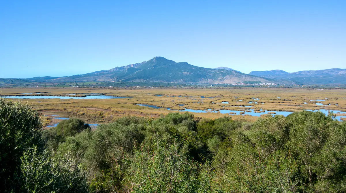
The main “”creators”” of this vast wetland are the two major rivers flowing into the bay, Arachthos and Louros. The eternal action of these two rivers, contributed to the formation of an extremely complex and unique wetland in Greece. All across the Gulf you can enjoy a wonderful variety of habitats and rare, natural beauty.
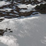
The Ambracian Gulf consists of at least 20 intact lagoons, which is unique for Greek wetlands. Their total area exceeds 70 square kilometers, while most of them are separated by the sea by a a long narrow strip of land.
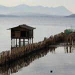
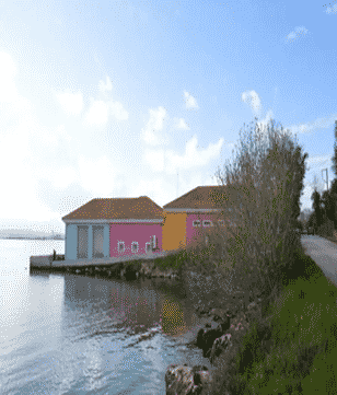
Between the lagoons there are openings which allow the communication between the lagoons and the open sea. The fishermen around the gulf took advantage of these natural openings and installed constructions called “”Ivaria””, which allow the entry of fish into the lagoon but prevent them from returning, thus trapped.

